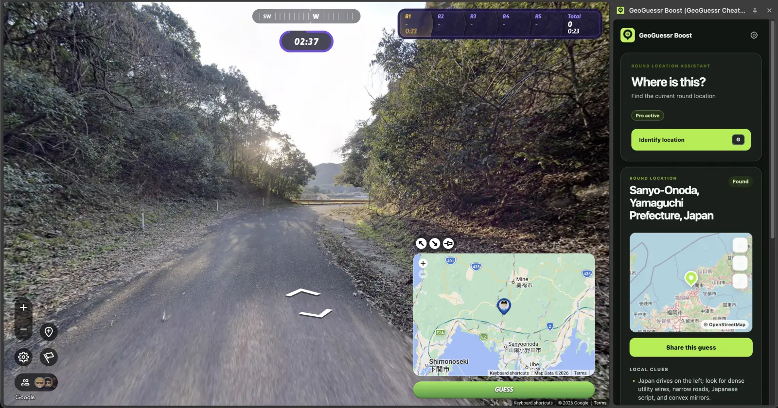
How to find location in GeoGuessr is a high-intent search: the player wants a faster path from a confusing round to a useful map decision. This guide explains the practical use case, what to verify manually, where GeoBoost helps, and where helper tools should stay out of the game.
Built for supported private games, practice, testing, party rounds, and personal entertainment.
Independent product, not affiliated with GeoGuessr.
Supported round. Exact.Map point foundCoordinates
Updated
Tested with
GeoBoost 1.0.9
Intended use
Private, practice, and testing rounds
Known limits
Supported modes only; never ranked or competitive play
01
Best use cases
Use this workflow when the goal is speed, feedback, or an agreed private-game reveal, not when other players expect strict manual guessing.
How to find location in GeoGuessr should answer a concrete player job, not act like a generic promise. The page is built around supported rounds, private rules, and a faster feedback loop.
beginners learning clue order
players who want faster private rounds
people comparing manual play with GeoBoost
02
A practical workflow
A good helper workflow still has order. The round should move from a quick visual read to a supported check, then to placement or review.
Start with driving side and road markings.
Read language, sign shape, and plate style.
Use landscape to narrow region.
Use GeoBoost as a supported check or reveal.
03
Manual clues to check
Even with a helper, the most useful players keep a short clue checklist. It makes the result easier to trust and turns a reveal into practice.
driving side
road line colors
script and language
vegetation, terrain, and urban density
04
Where GeoBoost fits
GeoBoost helps when manual clue reading has narrowed the scene but you want a fast second opinion or exact supported point.
05
Limits and fair-use context
No extension replaces basic clue literacy for unsupported pages. The better your first read, the more useful the reveal becomes.
06
Use a three-layer location funnel
Layer one is global: hemisphere, driving side, script family and climate. Layer two is national: road engineering, signs, plates, poles and architecture. Layer three is regional: terrain, city density, road numbers, place names and coastline or mountain orientation. Do not hunt for an exact town until the first two layers agree.
When evidence stays weak, make a central placement inside the strongest country group. A controlled small miss is usually better than an exact-looking guess based on one ambiguous clue.
07
Treat an exact point as a check, not an explanation
On a supported private or practice round, GeoBoost can shorten the final step by returning the point and map preview. The point tells you where the scene is; it does not tell you which clue should have led there. Review the nearest road system, language and landscape after the reveal so the answer becomes reusable knowledge.
 GeoBoost